Political Map of South America
฿449 - 8,999
Media :

Sheet

Roll-up

Frame

Frameless

Board
Quantity :
Product Details
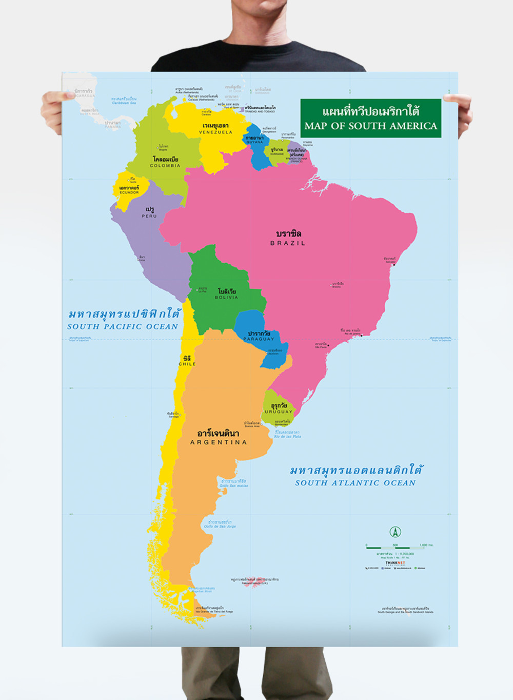
Political map of South America.
• Shows the overview of South America.
• Shows 13 countries in South America: Brazil, Ecuador, Argentina, Chile, Bolivia, etc.
• Shows the governmental boundaries of each country, territory borders with neighboring countries, islands, archipelagos, gulfs, seas, and important oceans.
• Shows capital cities and overseas territories.
• Bilingual: Thai-English.
• 2023 updated.
• Size (M) 69x100 cm has a scale of 1:9,680,000 , size (XL) 100x138 cm has a scale of 1:6,900,000 .
• Suitable for junior high school students age 12-14 years old.


฿449 - 8,999

฿449 - 8,999

฿449 - 8,999

฿449 - 8,999

฿449 - 8,999