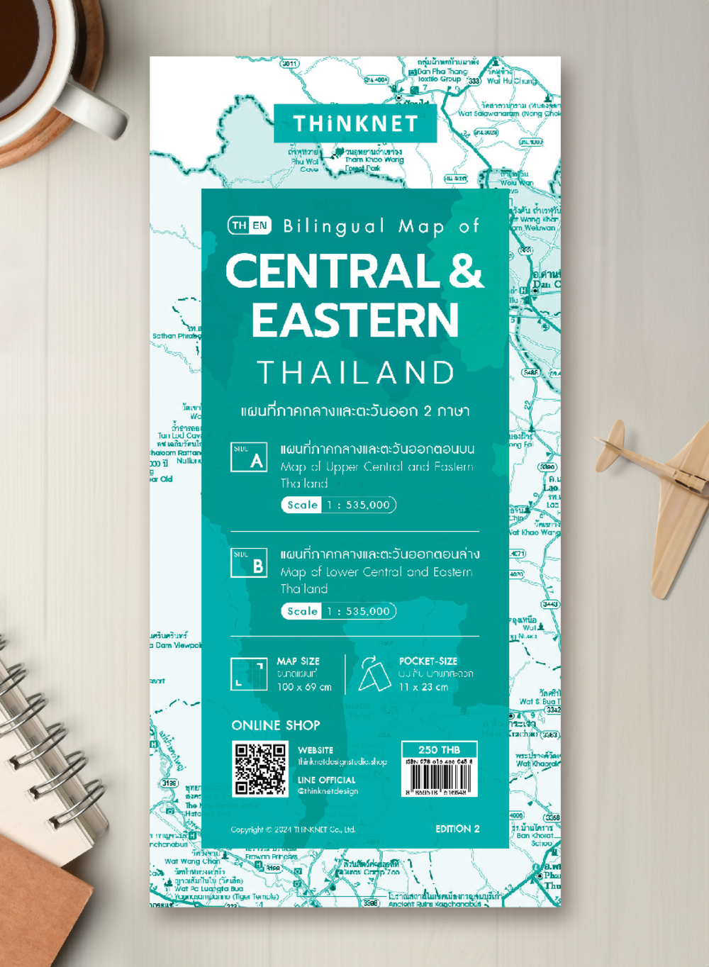
Bilingual Map of Central and Eastern Thailand 2024
฿250
Media :

Folded Map
Quantity :
Product Details
Map of Central and Eastern Thailand (Thai-English) 2024 updated.
• Shows the administrative divisions of Central and Eastern Thailand, provinces divided by colors.
• Covers 26 provinces:
-Central Thailand includes 18 provinces and one special administrative area; Kanchanaburi, Chai Nat, Nakhon Nayok, Nakhon Pathom, Nonthaburi, Pathum Thani, Prachuap Khiri Khan, Phra Nakhon Si Ayutthaya, Phetchaburi, Ratchaburi, Lop Buri, Samut Prakan, Samut Songkhram, Samut Sakhon, Saraburi, Sing Buri, Suphan Buri, Ang Thong, and Bangkok.
-Eastern Thailand includes 7 provinces; Chanthaburi, Chachoengsao, Chon Buri, Trat, Prachin Buri, Rayong, and Sa Kaeo.
• Shows amphoe (district) boundaries, major highways, main roads, minor roads, soi (alleys), and borders of neighboring countries, including Myanmar and Cambodia.
• Shows important spots such as business districts, airports, government offices, city halls, district offices, and tourist attractions.
• Shows index of distance information, significant spots, gas stations, EV charging stations, etc.
• Shows spots of railway stations, bus terminals, ports, police stations, hospitals, schools, shopping centers, markets, souvenir shops, temples, rivers, canals, waterfalls, reservoirs, wells, etc.
• Latest and upcoming main roads updated.
• Bright colorful map with precise detail.
• Pocket size. Easy to carry.
• The upper part of the Northern Thailand map has a scale of 1: 535,000.
• The lower part of the Northern Thailand map has a scale of 1: 535,000.


