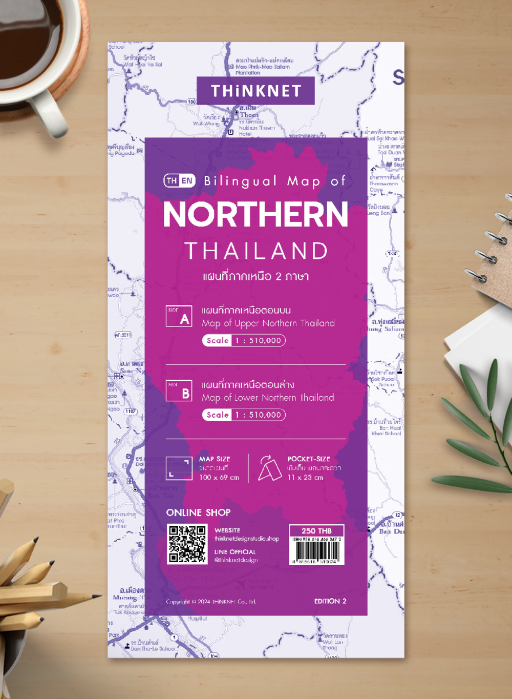
Bilingual Map of Northern Thailand 2024
฿250
Media :

Folded Map
Quantity :
Product Details
Map of Northern Thailand (Thai-English) 2024 updated.
• Shows the administrative divisions of Northern Thailand, provinces divided by colors.
• Covers 17 provinces; Kamphaeng Phet, Chiang Rai, Chiang Mai, Tak, Nakhon Sawan, Nan, Phayao, Phitsanulok, Phetchabun, Phrae, Mae Hong Son, Lampang, Lamphun, Sukhothai, Uttaradit, and Uthai Thani.
• Shows amphoe (district) boundaries, major highways, main roads, minor roads, soi (alleys), and borders of neighboring countries, including Myanmar and Laos.
• Shows important spots such as business districts, airports, government offices, city halls, district offices, and tourist attractions.
• Shows index of distance information, significant spots, gas stations, EV charging stations, etc.
• Shows spots of railway stations, bus terminals, ports, police stations, hospitals, schools, shopping centers, markets, souvenir shops, temples, rivers, canals, waterfalls, reservoirs, wells, etc.
• Latest and upcoming main roads updated.
• Bright colorful map with precise detail.
• Pocket size. Easy to carry.
• The upper part of the Northern Thailand map has a scale of 1: 510,000.
• The lower part of the Northern Thailand map has a scale of 1: 510,000.


