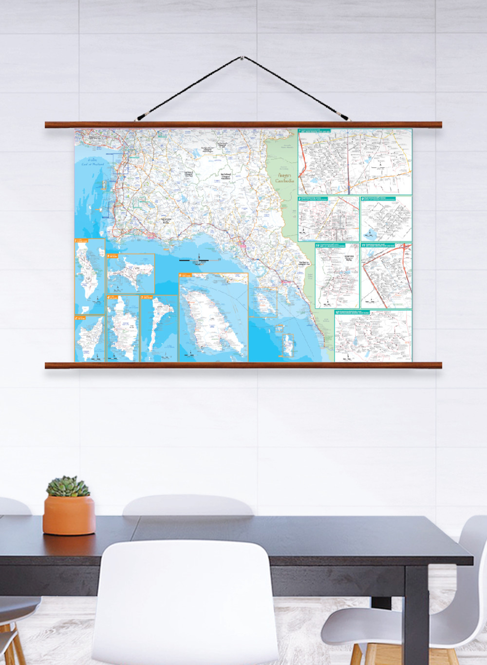
Map of Eastern Thailand Industrial Estate
฿449 - 8,999
Media :
Quantity :
Product Details
The map shows industrial estate areas in Eastern Thailand.
• Bilingual: Thai-English.
• 2013 updated.
• Additional inset maps of 6 islands; Si Chang Island, Lan Island, Mak Island, Kut Island, Samet Island, and Chang Island.
• Additional inset maps of 6 industrial estate areas; Amata Nakhon Industrial Estate (Chon Buri), Map Ta Phut Industrial Estate (Rayong), Gateway City Industrial Estate (Chachoengsao), Amata City Industrial Estate (Rayong), Laem Chabang Industrial Estate (Chon Buri), and Eastern Seaboard Industrial Estate (Rayong).
• Shows province boundaries, amphoe (district) boundaries, major highways, main roads, and minor roads.
• Shows important spots such as airports, government offices, city halls, district offices, and tourist attractions.
• Shows index of distance information, significant spots, gas stations, etc.
• Shows spots of railway stations, bus terminals, ports, police stations, hospitals, schools, shopping centers, wat (temples), gulfs, reservoirs, caves, etc.
• Size (XL) 138x100 cm has a scale of 1:260,000, Size (L) 120x83 cm has a scale of 1:300,000, Size (M) 100x69 cm has a scale of 1:360,000.
• Detailed map, suitable for business management.
• Size (XL)138x100 cm is recommended for better map details.
฿449 - 8,999
฿449 - 8,999
฿449 - 8,999
฿449 - 8,999


